|
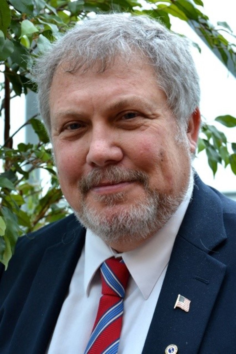
The LSU Center for GeoInformatics (C4G) & La. Spatial Reference Center (LSRC) mourns the loss of Mr. William Ernest “Bill” Henning, III of Dagsboro Delaware, who passed away on January 25, 2024. He was 76 years old. We offer condolences to his family and friends. He was a frequently invited speaker at our outreach events due to his role as a Senior Geodesist at the National Oceanic and Atmospheric Administration’s National Geodetic Survey. He helped NGS develop the guidelines and methodology for using GNSS real-time positioning. Always available, he made many presentations on behalf of the C4G & LSRC. He authored. Best Practices in Using Real-time GNSS Networks, and others. We continue to use his Best Practice references to this day. (https://www.youtube.com/watch?v=c50vVKGsTZk) He is survived by Gail Henning of Dagsboro, Delaware, his beloved wife of 53 years. Bill and Gail were high school sweethearts and dearest best friends. He is also survived by his daughter Kathleen Henning and son-in-law Scott Newman of Los Angeles, California, and his daughter Jacquelyn Koch and son-in-law Jonathan Koch of Baltimore, Maryland. He is also survived by his sister Diane Henning Sengstake of Bel Air, Maryland. |
 |
A service honoring Bill’s life will be held on Friday, March 8th at 10:30 am at Melson’s Funeral Home in Frankford, 43 Thatcher St, Frankford, Delaware 19945. Family and friends may call after 9:30 a.m. A celebration of Bill’s life will be held immediately following the service from 12-3 p.m.
In lieu of flowers, please honor Bill’s love for animals through donations to support Town Cats of Ocean City (Ocean City, Maryland) and Brandywine Valley SPCA (Georgetown, Delaware).
The C4G YouTube channel has 10 sessions where Bill is the presenter or a member of the expert panel, the following includes direct links to each of these videos:
Louisiana 2014 Height Modernization Workshop
- Bill Henning on Vertical Truth
- Bill Henning on Height Mod & Height Concepts for Geoids
- Bill Henning on Static & Real-Time GNSS Positioning
- Height Modernization Workshop Panel Discussion
Best Practice Methods Using Real Time GNSS Networks at South East Louisiana Flood Protection Authority East in New Orleans on 8/15/12
2011 National Static and Real-Time Network GPS/GNSS Best Practices Seminar, June 21, 2011 in New Orleans.
- Bill Henning of NGS on "Real Time Positioning" part 1
- Bill Henning of NGS on "Real Time Positioning" part 2
- Bill Henning of NGS on "NGS Support for Real Time Networks"

Anthony Cavell. PLS, CFedS
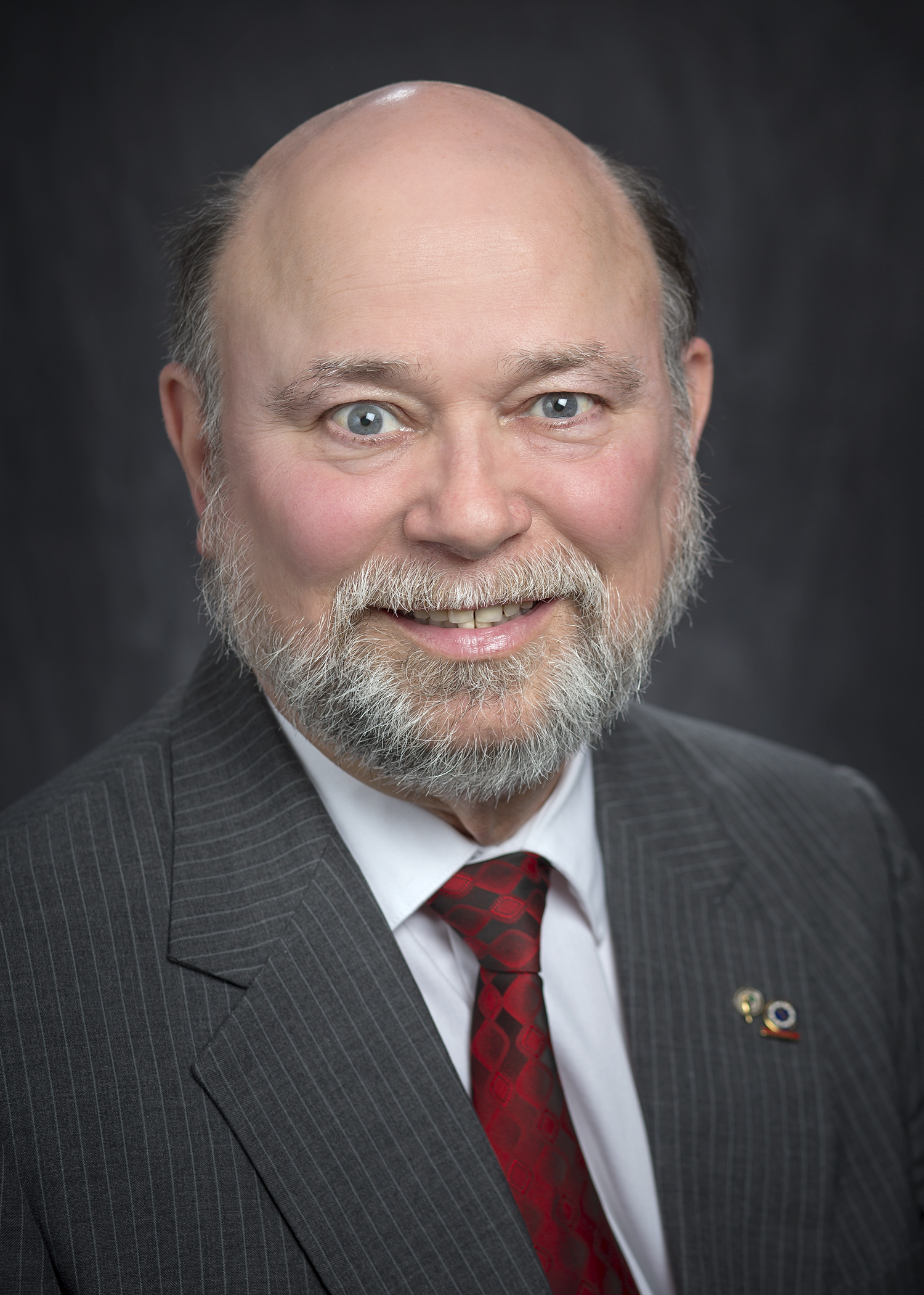
BATON ROUGE (2022) – LSU Center for Geoinformatics Surveyor J. Anthony Cavell was installed as President of the American Association for Geodetic Surveying (AAGS). The AAGS leads the U.S. community of geodetic, surveying, and land information data users. AAGS aims to develop new educational programs, including presentations, seminars, and workshops on topics related to geodetic surveying; and articles and papers that inform the membership of the latest scientific and technological developments and how to implement them efficiently.
Cavell is the State Geodetic Coordinator and a Fellow of AAGS, NSPS, and ACSM and has been active in the ACSM and the Louisiana Society of Professional Surveyors (LSPS). He was licensed by the Louisiana Professional Engineering and Land Surveying Board, in 1990, and approved as a Professional Development Provider in 2004. In 2007, The U.S. Bureau of Land Management recognized him as a Certified Federal Surveyor.
He is a researcher at the Louisiana Spatial Reference Center (LSRC) at LSU C4G attempting to better define the Geoid model for Louisiana with hopes of expanding to the Gulf Coast. The Geoid is an invisible surface that has the same gravity potential on every part of that surface and is the best fit for what has been called “Mean Sea Level.” Previous and existing geoid models have been poor compared to most of the continental United States, due to its unique geology. The goal is ambitious; to achieve a precision of 1 centimeter (current models have errors as much as 8 cm).
A successful result will permit areas within Louisiana and the Gulf Coast with the tools necessary to quickly and regularly determine tectonic movement, subsidence, and sea level rise and better plan and respond to natural changes and emergencies.
Cavell continuously strives to educate the public about the breadth of Geodesy and the surveying profession, its history, the dependence society has on it, and the dangers of assuming robots or numbers from measurements are exact.

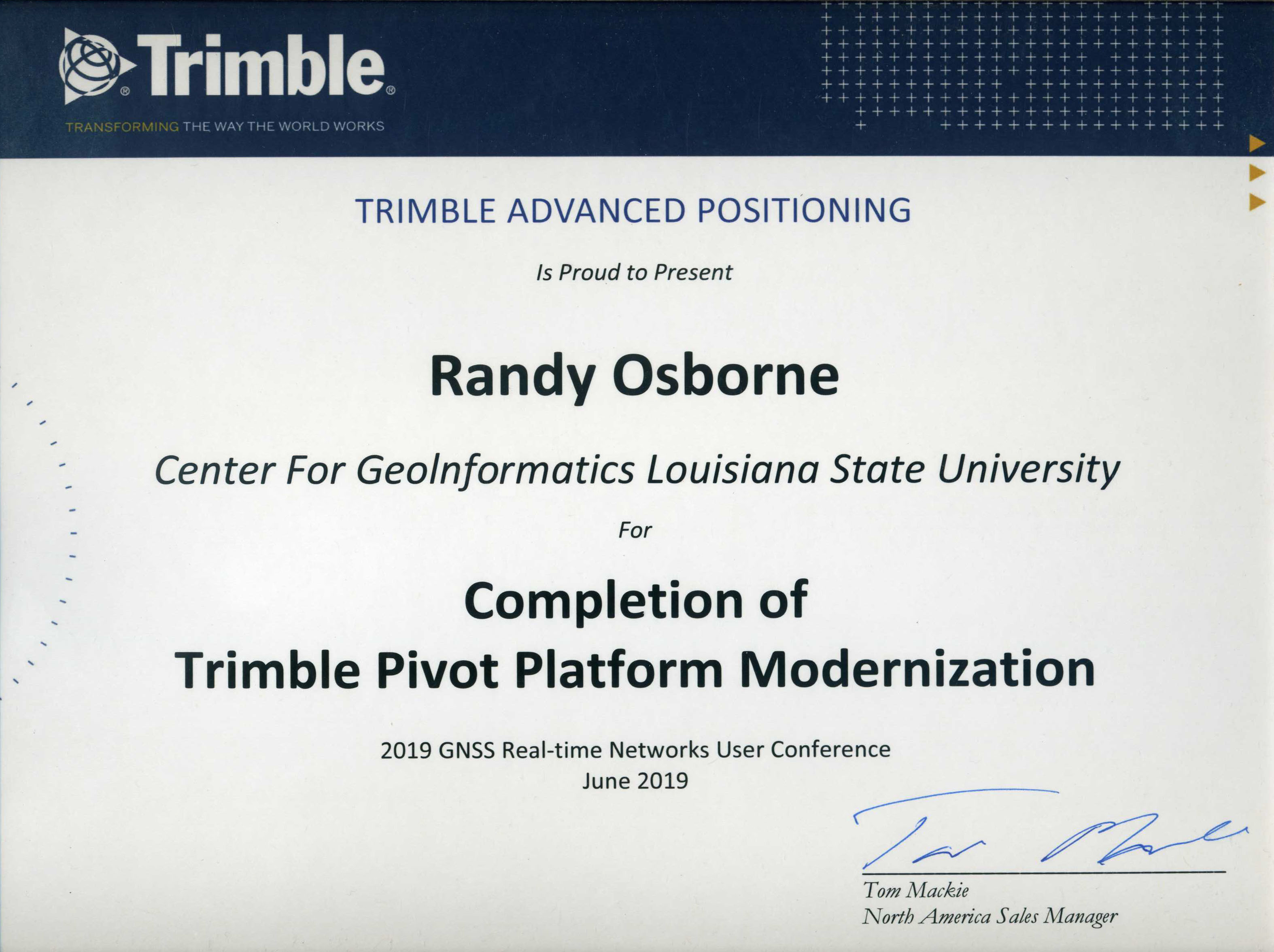
At the Trimble Real-Time Networks User Conference in Columbus, Ohio, this past June, Randy Osborne, network manager, received a certificaterecognizing the LSU Center for GeoInformatics’ real-time network. This certificate recognized the efforts C4G made to modernize the network, implementing the latest Trimble Alloy GNSS reference receivers and taking advantage of the applications made available through the Trimble Pivot Platform. “The LSU team has invested a great deal of time into ensuring their network provides the absolute best products to its GIS, agricultural and surveyor users,” said Alex Ngu, technical sales engineer at Trimble Real-Time Networks. “Their commitment to hosting a completely modern network will provide countless benefits to the work they and their users are conducting.”
The Center for GeoInformatics (C4G) deploys and maintains a statewide network of continuously operating reference stations (CORS) used for advanced positioning and subsidence monitoring throughout Louisiana. In partnerships with neighboring states along the Gulf Coast, C4G provides continuous raw data from select CORS for height modernization to improve the National Geodetic Survey’s National Spatial Reference System. This Gulf Coast-wide network of CORS is the foundation of GULFnet and the raw data from all of these CORS are distributed free of charge to the public. A subset of GULFnet CORS is also distributed to NGS for use in their NOAA CORS program which uses this data to produce OPUS solutions throughout the Gulf Coast Region. C4G uses highly specialized software developed by Trimble to provide many value-added services to subscribers, one of which is known as the C4Gnet Real-Time Network. C4Gnet Real-Time Network provides advanced positioning solutions to subscribers for a wide variety of applications in Real-Time and C4G is committed to providing these services at the highest possible level.
To learn more about C4G, you can visit the C4G website or follow C4G on Twitter, Facebook or the C4G YouTube channel. Please sign up for the C4G mailing list if you want to be notified about C4G related outreach events.
 J. Anthony Cavell J. Anthony Cavell |
BATON ROUGE – LSU Center for Geoinformatics Surveyor J. Anthony Cavell was installed as President of the National Society of Professional Surveyors, or NSPS. NSPS was incorporated in 1990 and succeeds the American Congress on Surveying and Mapping, or ACSM, which was inaugurated in 1941.
Cavell is a Fellow of NSPS and of ACSM. Additionally, he has been active in the AACSM and the Louisiana Society of Professional Surveyors, or LSPS, since 1984. He has served in several capacities as officer, director, committee chairman and educator/trainer.
A Professional Land Surveyor, he was licensed by the Louisiana Professional Engineering and Land Surveying Board, or LAPELS, in 1990. LAPELS also approved him as a Professional Development Provider in 2004. In 2007, he became a Certified Federal Surveyor as a member of the program’s initial class. He was one of the initial class of Trimble Certified Trainers (Trimble Navigation, Inc. is a manufacturer of GNSS and surveying products).
Some of his notable contributions include development of an improved plane projection for the Kingdom of Saudi Arabia in 1995, writing calibration procedures for the STARFIX navigation system relative to the Global Positioning System, or GPS, in 1990. He supervised Quality Assurance surveys for the Aerial Light Detection and Ranging, or LiDAR, for the Watershed IV Joint Venture with the Federal FEMA that covered the state of Louisiana in 2003. Cavell contributed to the successful establishment of the network of Global Navigation Satellite System, or GNSS, receivers across Louisiana and the Gulf Coast known as GULFnet or C4Gnet that now numbers over 110 stations. At the Center for Geoinformatics (C4G) he participated in the Accuracy Assessment of a Regional LiDAR Digital Elevation Model using a RTN, covering Louisiana.
Cavell is currently the resident surveyor at the LSU C4G where he began in 2004 as associate director. He left for private practice but returned to C4G following the death of Dr. Roy Dokka, C4G’s founder and director. In addition to his almost 40 years in the field of surveying, he has developed professional development seminars, written articles in professional magazines.
He is part of exciting new research at LSU C4G including a project attempting to better define the Geoid model for Louisiana with hopes of expanding to the Gulf Coast. The Geoid is an invisible surface that has the same gravity potential on every part of that surface. The potential identified with a zero height has a gravity potential that is a best fit for what has been called Mean Sea Level.
C4G & Cavell are using a sophisticated gravimeter (super sensitive spring scale) to visit identified points (mostly benchmarks). At one of those points, several different measurements are taken including gravity, conventional leveling, GNSS and, when possible, tide readings. A successful result will permit areas within Louisiana and hopefully soon the Gulf Coast with the tools necessary to quickly and regularly determine tectonic movement, subsidence, sea level rise and better plan and respond to natural changes and emergencies.
In addition to his contributions through projects, Cavell continuously strives to educate the public about the breadth of the surveying profession, its history, the dependence society has on it, and the dangers of assuming robots or numbers from measurements are exact. His achievements have earned him honors including the 2007 ACSM Earle J. Fennel Award which he was recognized for Contributions to Surveying and Mapping Education.
Click here to see the original LSU Media Center article
Contact Jennifer Knight
LSU Media Relations
225-578-3869

In 2001, LSU’s College of Engineering created a Center for GeoInformatics (C4G) to build new research and services in Geodesy and GeoInformatics. Over the past ten years, LSU’s C4G has been instrumental to the State of Louisiana; and exposure provided by the Center’s data has offered critical information for infrastructure elevation and roadway assessment.
Professor and Researcher Roy K. Dokka, Ph.D., was the founding executive director of LSU’s C4G and was also director, Louisiana Spatial Reference Center (LSRC); and holder of the Fruehan Family Professorship in engineering at LSU. The LSU community lost one of its most dedicated research and faculty members when Dokka passed away on Monday, August 1, 2011, at his residence in St. Francisville, La. He was 59 years old.
Dokka and C4G’s research interests centered on the application of the Global Positioning System (GPS) and geodetic leveling to study the massive subsidence that is affecting Louisiana’s coast and midcontinent, and on understanding the role that tectonism and climate play in creating landscapes.
In 2002, Dokka initiated the LSRC, a partnership with the National Geodetic Survey-NOAA, focused on creating a state-of-the-art positional infrastructure for the state. NGS' National Spatial Reference System (NSRS), provides the foundation for transportation, communication; mapping and charting; and a multitude of scientific, engineering, and agricultural applications in Louisiana.
Dokka ‘s vision for C4G provided a solid foundation by establishing a statewide network of Continuously Operating Reference Stations (CORS), and then worked with state legislation to make the CORS network a vertical control standard for the State of Louisiana. This infrastructure is the backbone for surveying in Louisiana, as well as supporting all GIS development, detailed topographic mapping, precision farming, navigation, and other geospatial applications.
By implementing a Real-Time Network (RTN) on this CORS infrastructure, Dokka created GULFNet as a way for subscribers to tie into the NSRS and enjoy a virtual zero-length baseline to this Vertical Geodetic Control throughout the State of Louisiana. GULFNet uses the entire network of more than 60 GPS receivers to compute necessary atmospheric corrections for a subscribed rovers' position and deliver them directly to the GULFNet subscriber in real-time within the 3D error space of a golf ball.
LSU and the College of Engineering recognize that the service provided by C4G is critical to the State, and is looking at C4G’s business plan to ensure that the stability and sustainability of the center’s services continues and expands in the near term. In addition, the College will provide leadership to build C4G’s research component as a complement to its existing service component.
Given the timeliness and current opportunities about GeoInformatics within areas of research and involvement to provide critical information for infrastructure elevation and roadway assessment, LSU’s C4G will continue to be a valuable asset for government, industry and higher education. Serious consideration to C4G’s expansion plans will focus on advantages and the impact to be a leading research area for the College and University in the Gulf Coast Region.
The LSU College of Engineering has a clear understanding with C4G’s constituents and partners, as well as a definitive commitment to continued success and expansion.
