"Last week I was in Lake Charles down to Cameron, this week I've been from Belle Chase to New Orleans and today in north of Baton Rouge. This system has worked flawlessly. Yesterday was a 13000 point topo on a levee and today I'm shooting single geo borings, this would have been a 4-5 day job the old RTK way."
Kimble Slaton
Kimble Slaton PS, UAV
"The customer service that you provided was excellent. You provided all of the necessary connection data in a timely manner. When my survey crew arrived on our site in New Orleans they were able to connect without any problems. I had them check into two NGS monuments and the accuracy results were within our tolerance. I have to say our experience using your network was excellent and I would definitely recommend it to other surveyors."
Roger Dawson
Roger Dawson Survey Director -TRC
“It’s a no-brainer! You get the increased efficiencies and confidence for a fraction of the cost of even an entry-level field hand. It doesn’t take much business sense to figure that one out.”
Carl Jeansonne, PLS
Carl Jeansonne, PLS Professional Land Surveyor
Ben Fernandez
Ben Fernandez
Rockabilly Rebel

The Bedlamville Triflers

Ben Fernandez surveys Gravity, Deflection of Vertical and GPS on Benchmarks by day (often nights) but since 2008 he has been a band mate of a group called The Bedlamville Triflers! In pursuit of this passion he has been playing a mix of old-school rockabilly, surf, and a bit of country AND western. The music is steeped in the sounds of Louisiana and it's musical heritage. To learn more visit their Facebook Page @ https://www.facebook.com/TheTriflers
+ C4G

The LSU Center for GeoInformatics is home to the LSRC, GULFnet and the C4Gnet.XYZ Real-Time Network.

+ LSRC

Louisiana Spatial Reference Center was formed as a partnership in cooperation with NOAA’s National Geodetic Survey (NGS), focused on creating state-of-the-art positional infrastructure for the state of Louisiana and to provide technical leadership, training and access to positional data.

+ CORS

Continiously Operating Reference Stations are ground stations that collect positions of GNSS satellites over 12 thousand miles away in space and log these data every second.

+ GULFnet

Access to all GULFNet CORS data in our repository is available freely to the public through C4G in its role as the LSRC and partnerships with members of the Gulf Coast Spatial Reference Consortium (GCSRC).

+ C4Gnet.XYZ

Louisiana's Statewide Real-Time Network that gives clients NSRS positions without the need to setup a base station.

What We Do At C4G

Take a Peek Behind the Curtin and see what we have Accomplished at C4G.

Study of Gravity
C4G Measures Absolute and Relative Terrestrial Gravity
Outreach
All C4G Outreach Events are Recorded and Archived on YouTube so you can view on demand. Topics cover NSRS, Height Modernization, Remote Sensing, Surveying, GNSS, Real-Time Networks and more...
Real Time Network Portal
Our RTN portal supports users of C4Gnet.XYZ and also provides access to our free statewide Online Processing service .

Looking for Real-Time Corrections?

C4G is the host of C4Gnet.XYZ, Louisiana's Statewide Reference Network.

Visit our Web Store to Subscribe

or simply call us at
(225) 328-8976

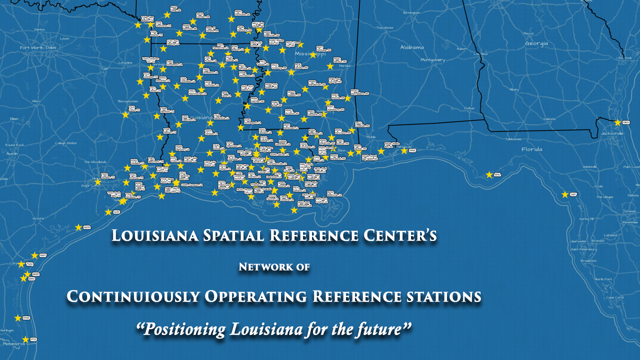
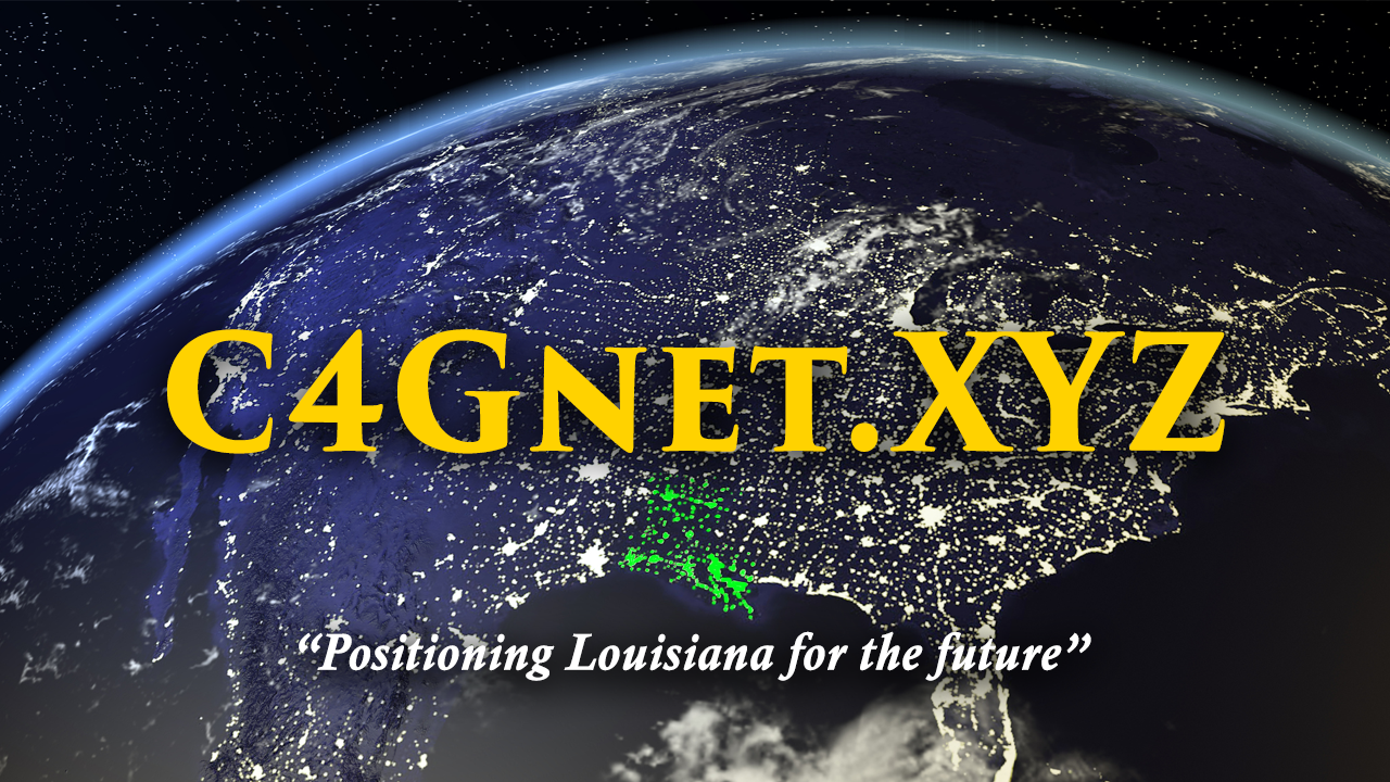
C4Gnet.XYZ Real Time Network Status Messages

Current Status Messages in all regions

C4G Proudly Partners with these Organizations