Urgent: Critical Change to GEOID18 Grid Files
NGS has corrected errors in some of the GEOID18 grid files posted on the GEOID18 Downloads webpage prior to November 26, 2019. See below for more information and details.
Critical Change
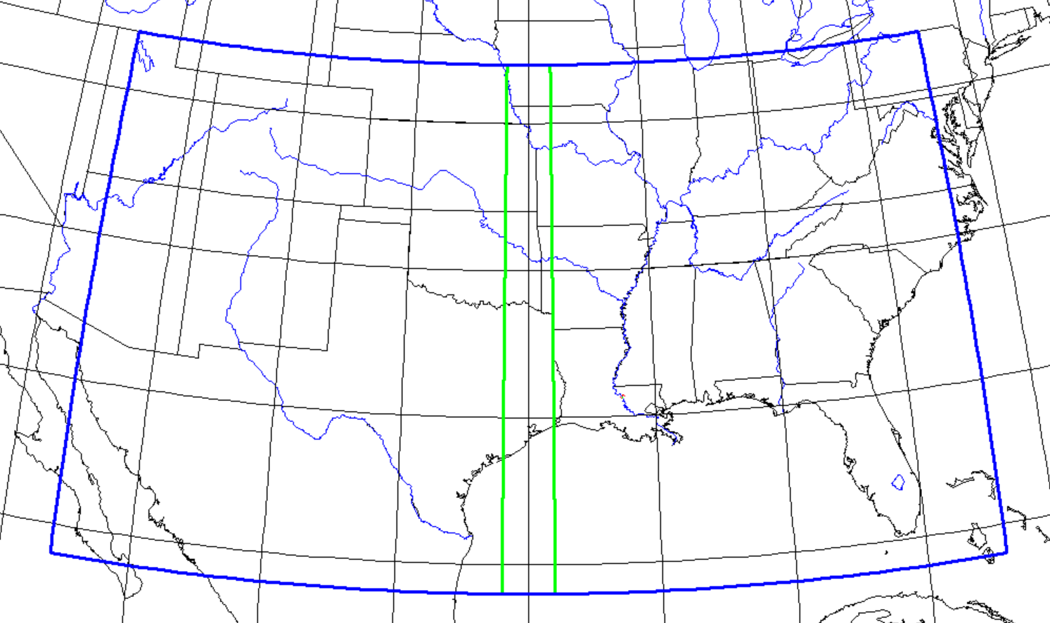
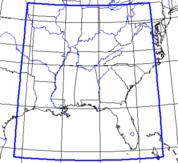
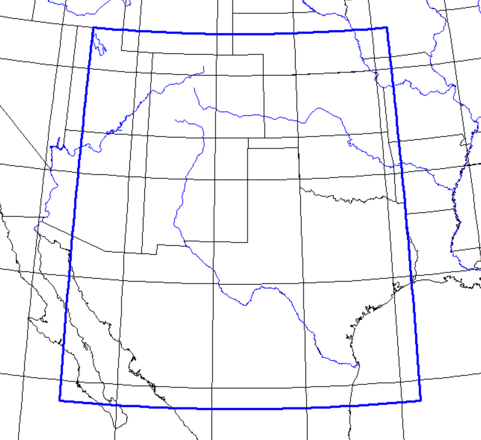
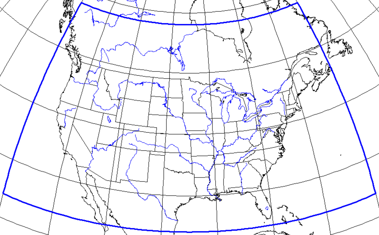
The GEOID18 grid files in the little endian and ASCII grid formats that were posted on the NGS website prior to November 26, 2019, contained errors in a small percentage of the grid cells (1 in 500). NGS has since corrected the errors and replaced these files on the GEOID18 download page. We encourage users that have previously downloaded those grids to immediately replace them with the updated grids.
Unaffected Products
The GEOID18 model itself, the big endian file format, and all of the NGS tools and services that incorporate GEOID18, including the Online Positioning User Service (OPUS), remain unaffected and may continue to be used.
Technical Details
The GEOID18 grid files posted prior to Nov 26, 2019 were created and tested in the big endian format. The grids were then converted into little endian and ASCII formats. Unfortunately, an error in the file format conversion process introduced errors into a random set of grid cells within the little endian and ASCII grids. These errors range from 1.9 mm to 6.25 cm and are inconsistently distributed throughout the grids.
To help avoid these types of issues in the future, NGS is working to adopt a single grid file format sometime in 2020.
Background
NGS creates geoid models to help users determine GPS-derived orthometric heights, and the most recent published model is GEOID18. NGS incorporates geoid models into other tools, and makes the models available for download in three grid file formats: big endian, little endian and ASCII. Surveying equipment and software vendors also download and incorporate NGS geoid grid files into their products.
Questions
If you have accessed NGS geoid grids through vendor software, please follow up with your vendor directly. If you have additional questions or concerns, please contact This email address is being protected from spambots. You need JavaScript enabled to view it..
|


