 J. Anthony Cavell J. Anthony Cavell |
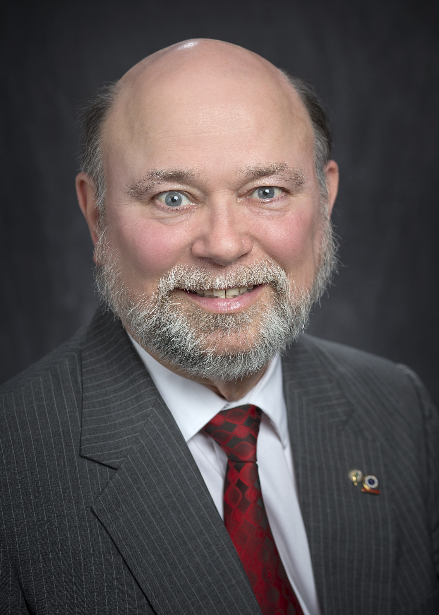
BATON ROUGE – LSU Center for Geoinformatics Surveyor J. Anthony Cavell was installed as President of the National Society of Professional Surveyors, or NSPS. NSPS was incorporated in 1990 and succeeds the American Congress on Surveying and Mapping, or ACSM, which was inaugurated in 1941.
Cavell is a Fellow of NSPS and of ACSM. Additionally, he has been active in the AACSM and the Louisiana Society of Professional Surveyors, or LSPS, since 1984. He has served in several capacities as officer, director, committee chairman and educator/trainer.
A Professional Land Surveyor, he was licensed by the Louisiana Professional Engineering and Land Surveying Board, or LAPELS, in 1990. LAPELS also approved him as a Professional Development Provider in 2004. In 2007, he became a Certified Federal Surveyor as a member of the program’s initial class. He was one of the initial class of Trimble Certified Trainers (Trimble Navigation, Inc. is a manufacturer of GNSS and surveying products).
Some of his notable contributions include development of an improved plane projection for the Kingdom of Saudi Arabia in 1995, writing calibration procedures for the STARFIX navigation system relative to the Global Positioning System, or GPS, in 1990. He supervised Quality Assurance surveys for the Aerial Light Detection and Ranging, or LiDAR, for the Watershed IV Joint Venture with the Federal FEMA that covered the state of Louisiana in 2003. Cavell contributed to the successful establishment of the network of Global Navigation Satellite System, or GNSS, receivers across Louisiana and the Gulf Coast known as GULFnet or C4Gnet that now numbers over 110 stations. At the Center for Geoinformatics (C4G) he participated in the Accuracy Assessment of a Regional LiDAR Digital Elevation Model using a RTN, covering Louisiana.
Cavell is currently the resident surveyor at the LSU C4G where he began in 2004 as associate director. He left for private practice but returned to C4G following the death of Dr. Roy Dokka, C4G’s founder and director. In addition to his almost 40 years in the field of surveying, he has developed professional development seminars, written articles in professional magazines.
He is part of exciting new research at LSU C4G including a project attempting to better define the Geoid model for Louisiana with hopes of expanding to the Gulf Coast. The Geoid is an invisible surface that has the same gravity potential on every part of that surface. The potential identified with a zero height has a gravity potential that is a best fit for what has been called Mean Sea Level.
C4G & Cavell are using a sophisticated gravimeter (super sensitive spring scale) to visit identified points (mostly benchmarks). At one of those points, several different measurements are taken including gravity, conventional leveling, GNSS and, when possible, tide readings. A successful result will permit areas within Louisiana and hopefully soon the Gulf Coast with the tools necessary to quickly and regularly determine tectonic movement, subsidence, sea level rise and better plan and respond to natural changes and emergencies.
In addition to his contributions through projects, Cavell continuously strives to educate the public about the breadth of the surveying profession, its history, the dependence society has on it, and the dangers of assuming robots or numbers from measurements are exact. His achievements have earned him honors including the 2007 ACSM Earle J. Fennel Award which he was recognized for Contributions to Surveying and Mapping Education.
Click here to see the original LSU Media Center article
Contact Jennifer Knight
LSU Media Relations
225-578-3869
